Old Maps /
New Perspective
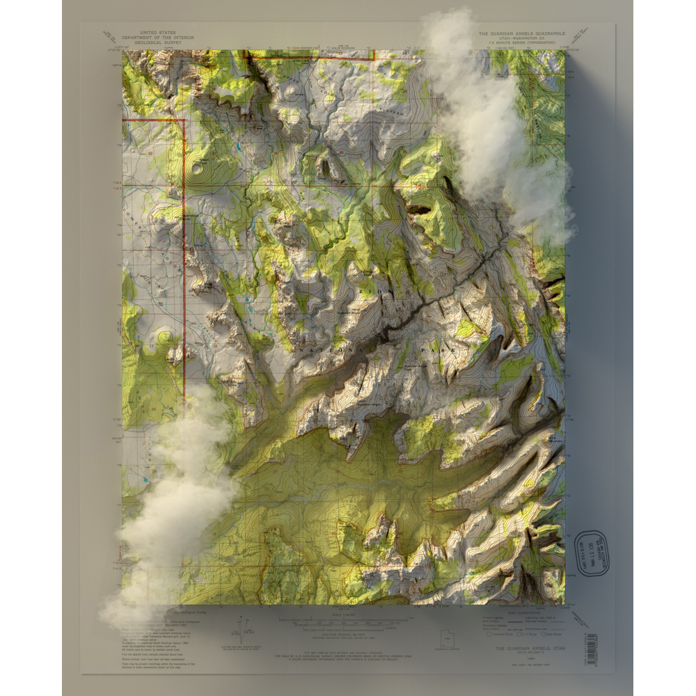
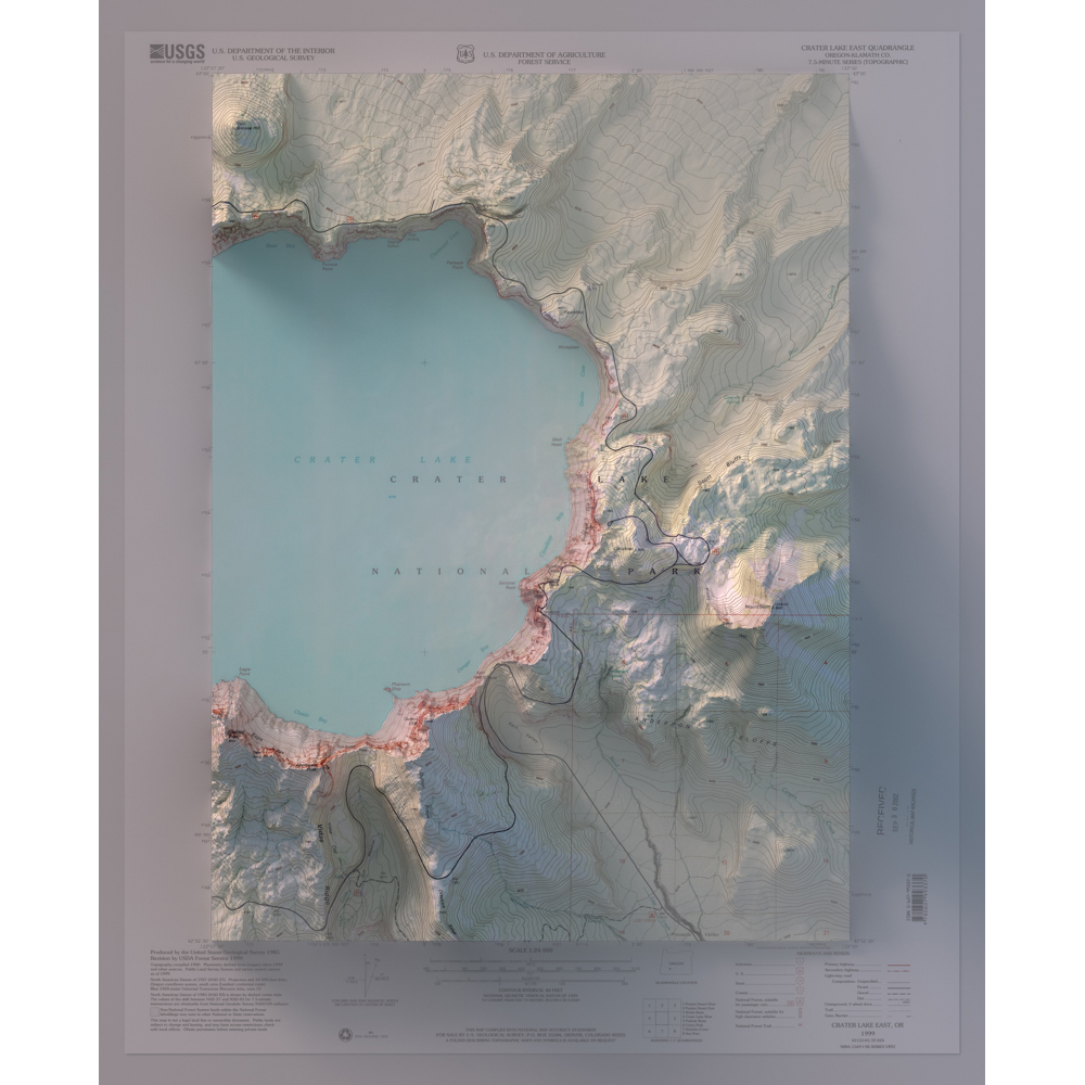
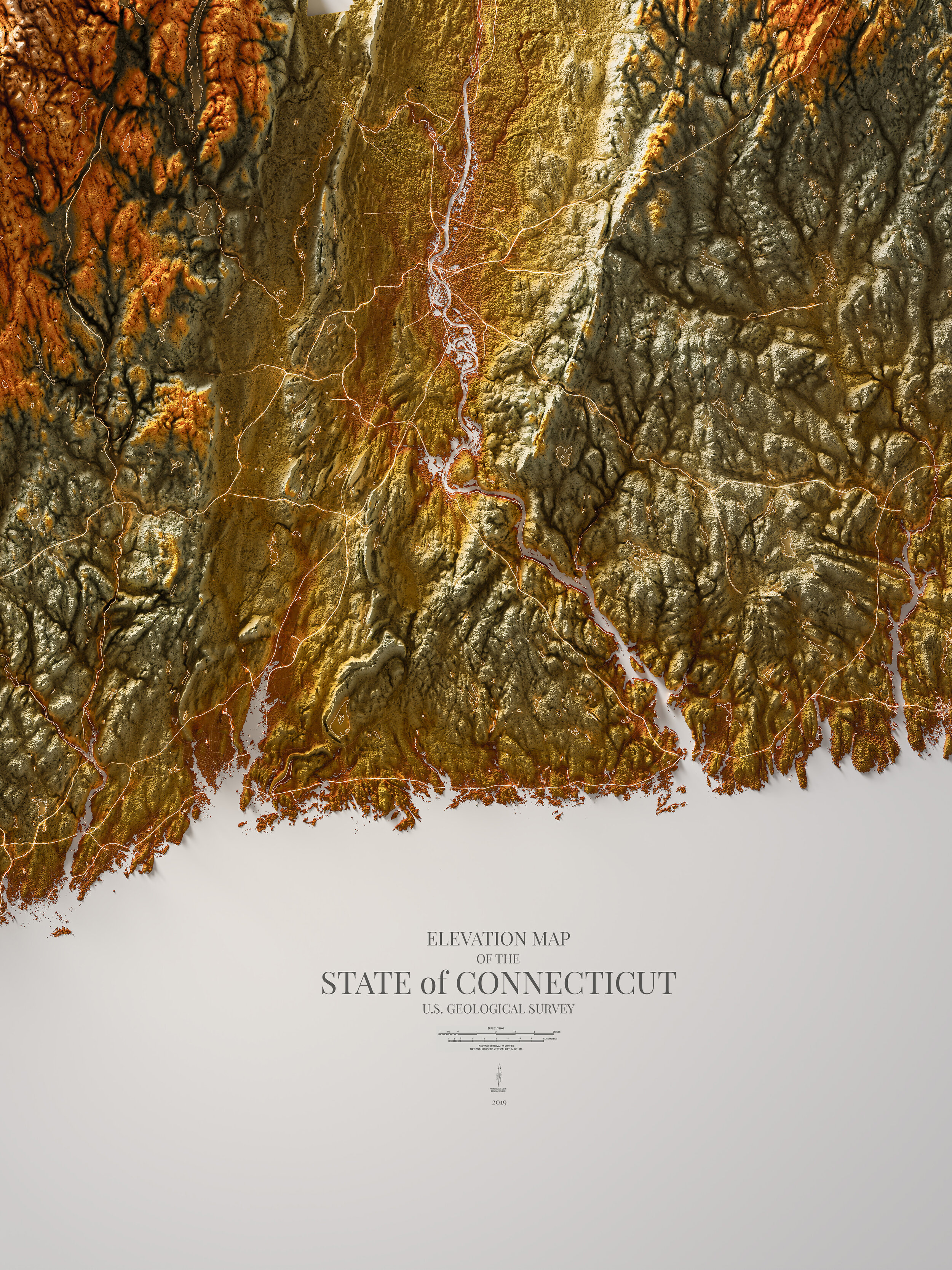
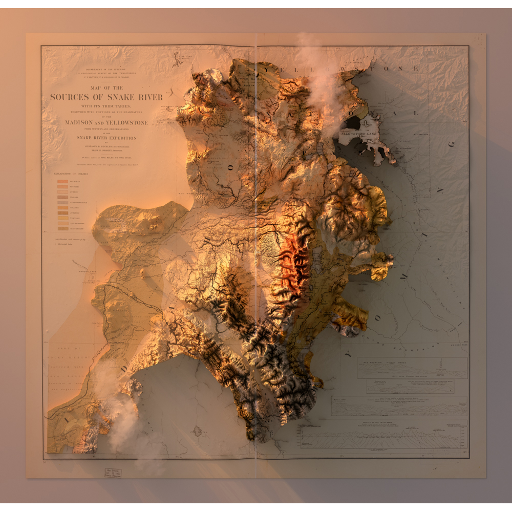
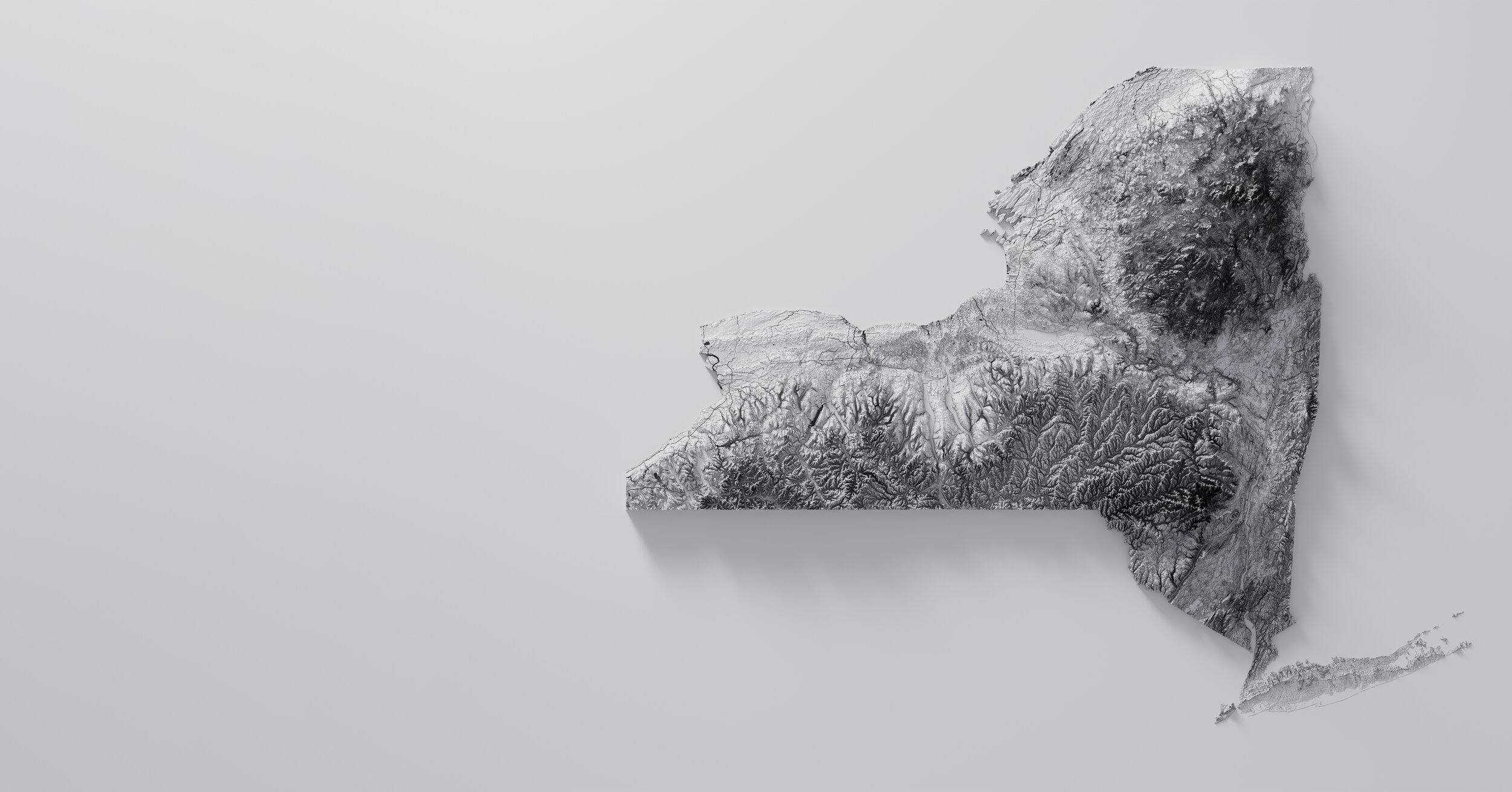
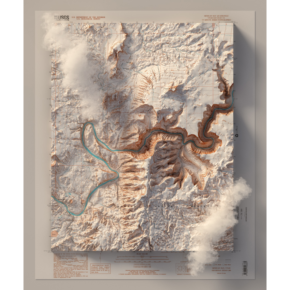
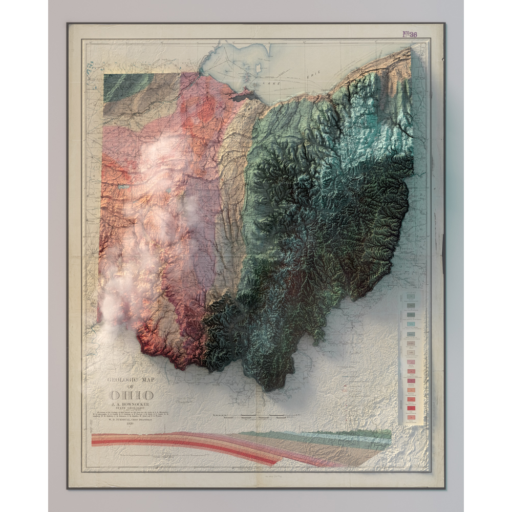
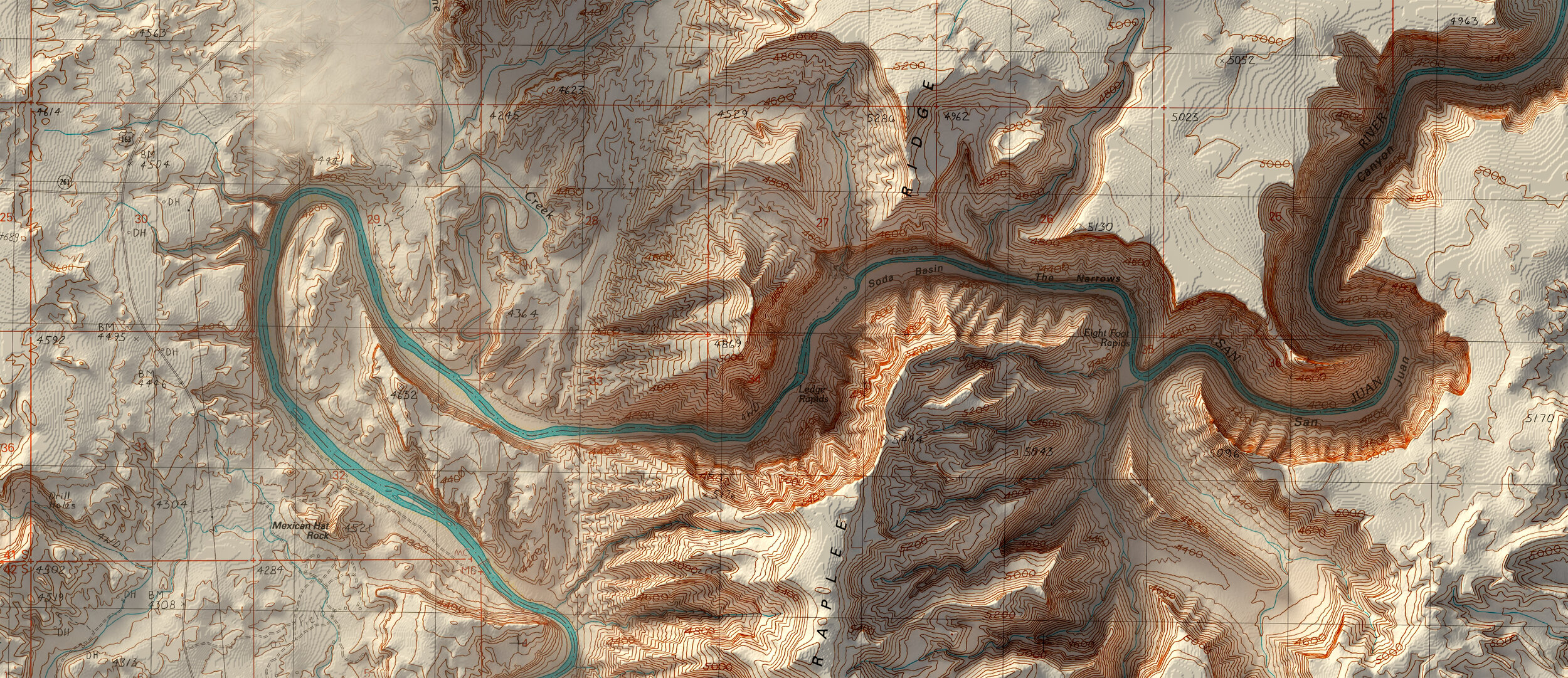
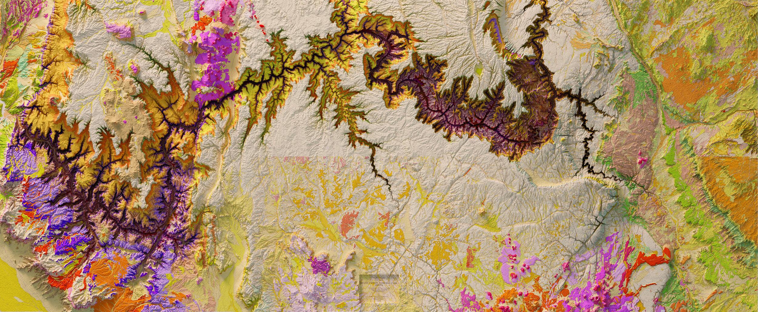
Using publicly available digital elevation data combined with historical maps a new topographic perspective can be achieved. These maps are digitally rendered 3D representations of (historic) topographic maps of places around the globe.
2D to (perceived) 3D
Digital Elevation Model (DEM) information is used to create a 3D interpretation of the underlying topography, using Geographic Information System (GIS) mapping software. Once the Digital Elevation Data is obtained for a specific topographic area, this information is then digitally rendered to transform the historical two dimensional maps to a new 3D map, using rendering Software and Photoshop.
Topography
2.0
Show Maps
"Topography revisited…."
Old Concepts /
New Perspectives
Show Maps
Research & Implementation
All data used to create these maps is publicly available through government and university websites. Free and open source software is used to combine the historical maps and the digital elevation data. Final images are created in imaging processing software.